Upcoming Spaceflight Launches
Filter by Agency, Locations or Vehicles
Show All Launches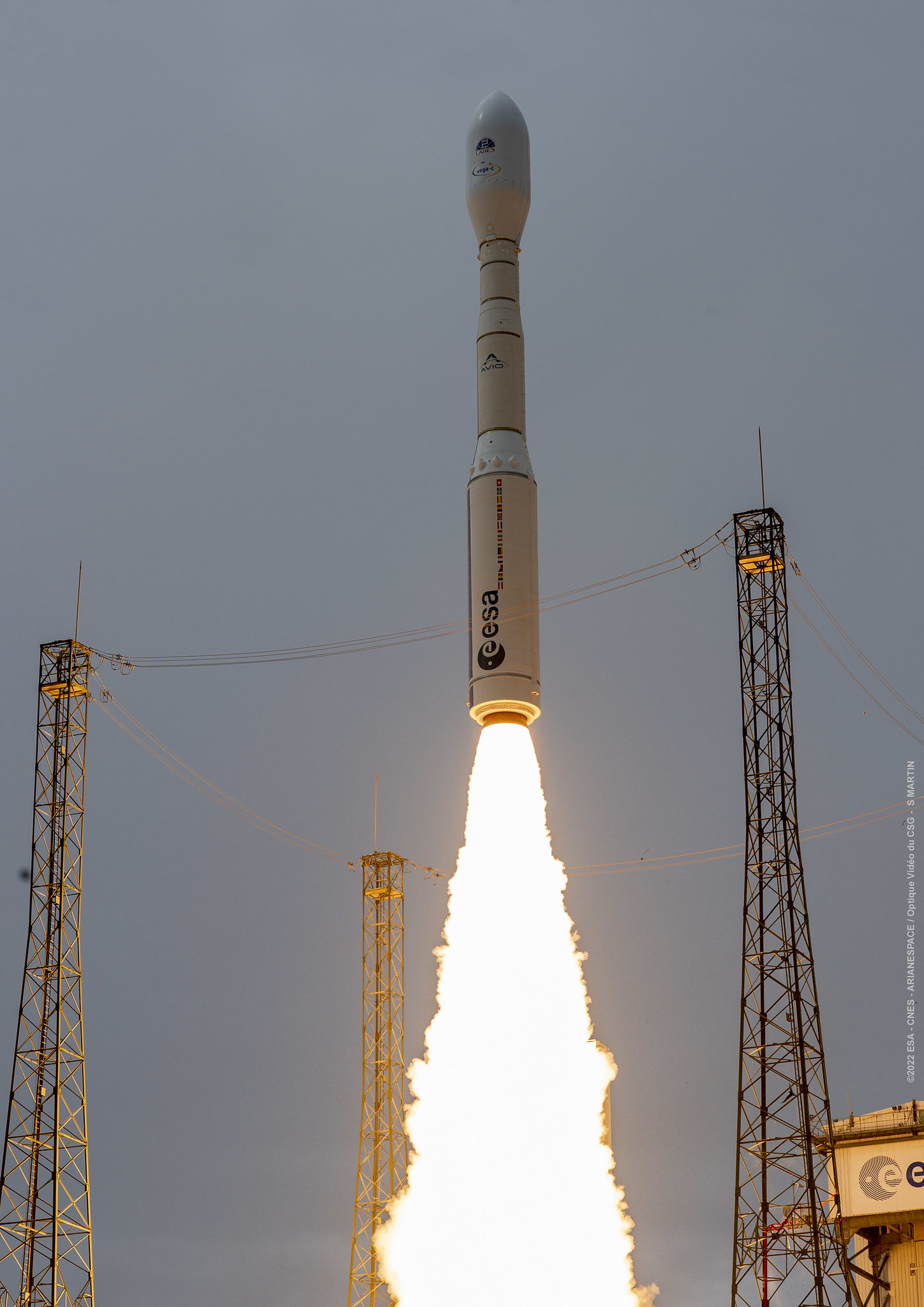
Vega-C | PLATiNO 2
Avio S.p.A | ItalyGuiana Space Centre, French Guiana
Status: To Be Determined
Mission:
PLATiNO-2 is an Earth observation satellite developed for the Italian Space Agency (ASI), making use of the PLATiNO minisatellite platform - a versatile and modular small satellite system - to support a variety of space missions for Earth observation, telecommunications, and scientific research. The platform offers a scalable and cost-effective solution for payload integration in support of diverse mission requirements and orbital configurations, with a focus on high performance, flexibility, and reliability, for both governmental and commercial applications. The PLATiNO-2 mission carries a Thermal Infrared (TIR) payload, validating PLATiNO multi-applicability feature. Developed by Leonardo and SITAEL, PLATiNO-2 TIR will acquire images that will be used to provide valuable services for territories control and protection such as monitoring waters, glaciers, pollutants, state of crops and vegetation, energy consumption in urban areas. PLATiNO-2 is also equipped with the magnetically shielded HT 100, an improved version of SITAEL electric thruster, making PLATiNO-2 one of the first missions in the world to observe the Earth in the Thermal Infrared from a very low orbit – less than 400 km – and thus significantly improving the resolution of the acquired images. The satellite also carries NASA’s Multi-Angle Imager for Aerosols (MAIA) instrument, which will study how different types of particulate matter air pollution affect our health.
Sun-Synchronous Orbit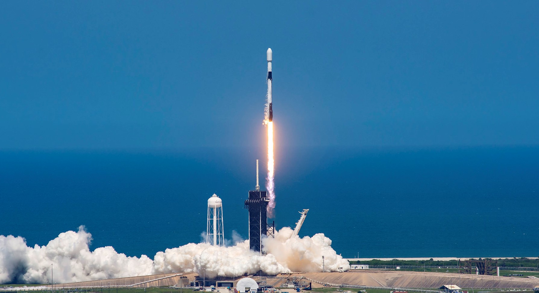
Falcon 9 Block 5 | SICRAL 3B
SpaceX | United States of AmericaCape Canaveral SFS, FL, USA
Status: To Be Determined
Mission:
SICRAL 3A and 3B are next generation communication satellites for the Italian Ministry of Defence, providing UHF and SHF communications services in replacement of SICRAL 2 and adding Ka-band capacities. One of the satellites will provide UHF and SHF band communications, while the other carries a Ka-band payload. These 2 geostationary satellites will provide confidential strategic and tactical communications, to support defense missions both in Italy and abroad, as well as supporting security, public rescue and civil protection services. The new SICRAL 3 system is designed to meet Italian defense communications and interoperability requirements.
Geostationary Transfer OrbitVega-C | Sentinel CO2M-A
Avio S.p.A | ItalyGuiana Space Centre, French Guiana
Status: To Be Determined
Mission:
Sentinel CO2M-A carries a near-infrared and shortwave-infrared spectrometer to measure atmospheric carbon dioxide produced by human activity, providing the EU with a unique and independent source of information, to assess the effectiveness of policy measures, and to track their impact towards decarbonizing Europe and meeting national emission reduction targets.
Sun-Synchronous Orbit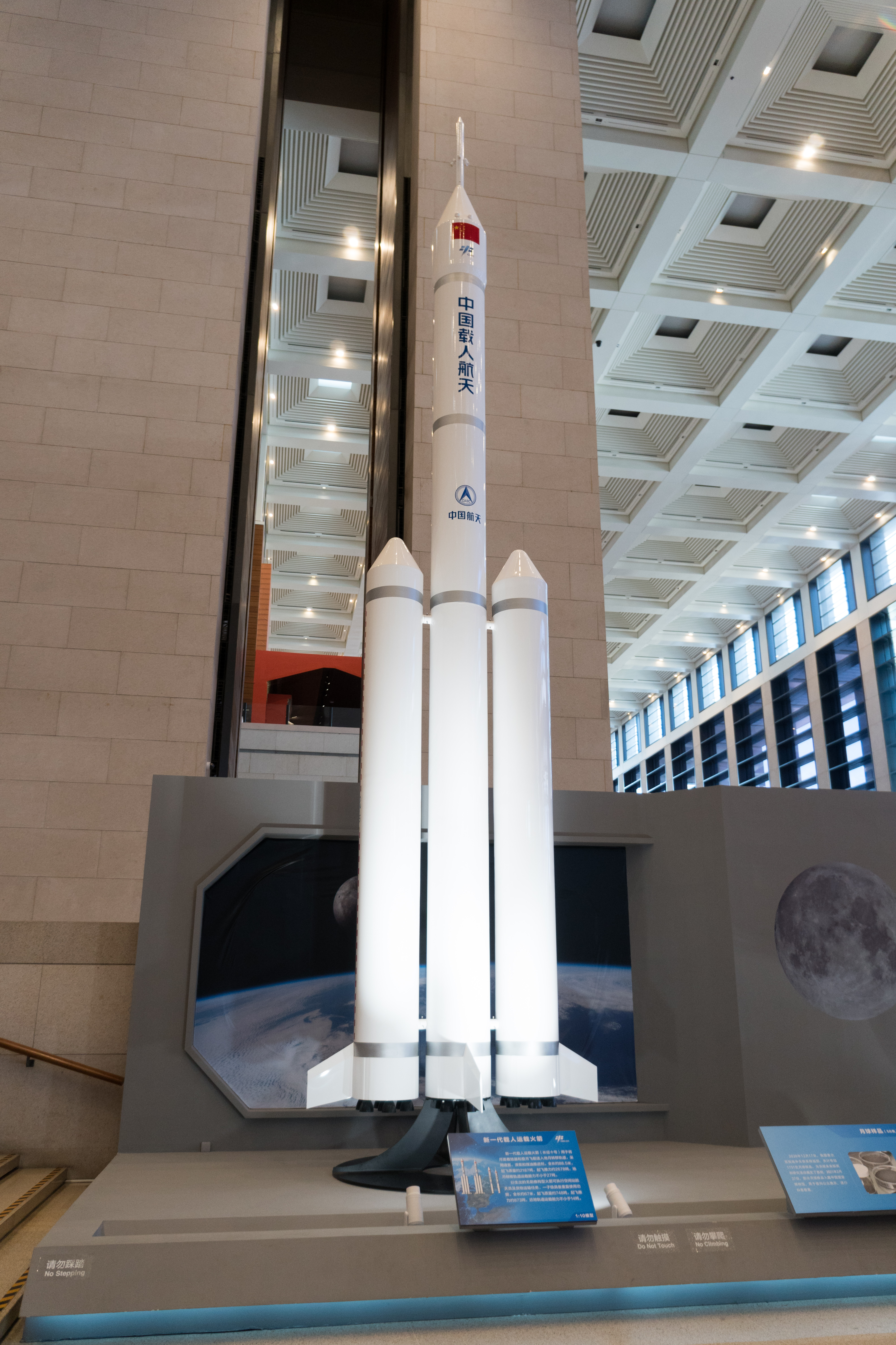
Long March 10 | Demo Flight
China Aerospace Science and Technology Corporation | ChinaWenchang Space Launch Site, People's Republic of China
Falcon 9 Block 5 | Telesat Lightspeed 12
SpaceX | United States of AmericaCape Canaveral SFS, FL, USA
Vega-C | FORMOSAT-8C
Avio S.p.A | ItalyGuiana Space Centre, French Guiana
Falcon 9 Block 5 | Telesat Lightspeed 8
SpaceX | United States of AmericaCape Canaveral SFS, FL, USA
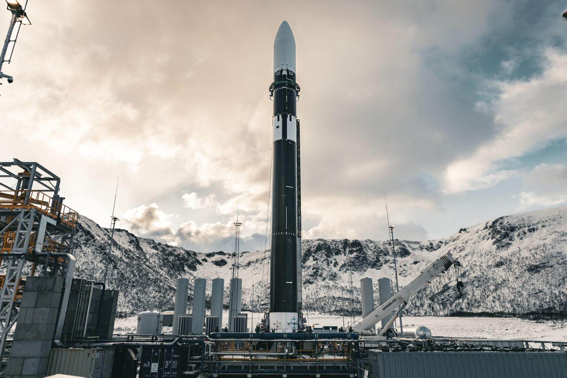
Spectrum | ELS-R1
Isar Aerospace | GermanyAndøya Spaceport
Status: To Be Determined
Mission:
ELS-R1 is the first free-flying/returnable experiment hosting spacecraft developed by the Japanese company ElevationSpace. The ELS-R platform is an uncrewed service that enables research, development, and manufacturing in space, followed by the return of results and materials to Earth. Compared to traditional methods that rely on crewed facilities such as the International Space Station (ISS), ELS-R offers greater flexibility, fewer operational constraints, and less stringent safety reviews, making it possible to access space more frequently and efficiently.
Low Earth OrbitFalcon 9 Block 5 | FOO Fighter (F2)
SpaceX | United States of AmericaCape Canaveral SFS, FL, USA
Falcon 9 Block 5 | Exolaunch Exo-1
SpaceX | United States of AmericaVandenberg SFB, CA, USA
Long March 2D
CAS Pathfinder-1
Launch Area 94 (SLS-2 / 603) - Jiuquan Satellite Launch Center, People's Republic of ChinaThe Chinese Academy of Science (CAS)' Pathfinder-1 satellites is built for in-orbit validation of critical technologies for the upcoming main mission…
Long March 12
SatNet LEO Group 29
Commercial LC-2 - Wenchang Space Launch Site, People's Republic of ChinaA batch of 9 Low Earth Orbit communication satellites for the Chinese state owned SatNet constellation operated by the China Satellite Network Group.…
Soyuz 2.1b/Fregat-M
Glonass-K1? (Kosmos 2621?)
43/3 (43L) - Plesetsk Cosmodrome, Russian FederationNote: Payload identity uncertain. Glonass-K are the third generation of satellite design for GLONASS satellite navigation system. GLONASS is a Rus…
Falcon 9
USSF-432
Space Launch Complex 4E - Vandenberg SFB, CA, USAA classified mission for the United States Space Force. It is possibly a batch of classified LEO satellites based on SpaceX’s Starshield satellite bu…
Ceres-2
4 satellites
Launch Area 95A - Jiuquan Satellite Launch Center, People's Republic of ChinaShare-ride of 4 commercial Earth observation and technology demonstration satellites to SSO, details TBD.
Long March 2C
Yaogan 51-07 to 09
Launch Complex 3 (LC-3/LA-1) - Xichang Satellite Launch Center, People's Republic of China3 Chinese military “remote sensing” satellite of unknown purposes.
Kinetica 2
SpaceSail Polar Group #17
Launch Area 140 - Jiuquan Satellite Launch Center, People's Republic of China18 Low Earth Orbit communication satellites with Ku, Q and V band payloads for the G60 constellation operated by Shanghai Spacesail Technologies with…
Electron
The Sea God Surveys (iQPS Launch 9)
Rocket Lab Launch Complex 1A - Rocket Lab Launch Complex 1, Mahia Peninsula, New ZealandSynthetic aperture radar Earth observation satellite for Japanese Earth imaging company iQPS.
Falcon 9
Starlink Group 15-18
Space Launch Complex 4E - Vandenberg SFB, CA, USAA batch of 27 satellites for the Starlink mega-constellation - SpaceX's project for space-based Internet communication system.
GSLV Mk II
IRNSS-1L (NVS-03)
Satish Dhawan Space Centre Second Launch Pad - Satish Dhawan Space Centre, IndiaThis is a replacement satellite for the Indian Regional Navigation Satellite System. The constellation will provide India with an alternative to GPS …