Upcoming Spaceflight Launches
Filter by Agency, Locations or Vehicles
Show All Launches
HASTE | Leidos-5
Rocket Lab | United States of AmericaWallops Flight Facility, Virginia, USA
TBD December, 2026
HASTE | Leidos-3
Rocket Lab | United States of AmericaWallops Flight Facility, Virginia, USA
TBD December, 2026
HASTE | Leidos-4
Rocket Lab | United States of AmericaWallops Flight Facility, Virginia, USA
TBD December, 2026
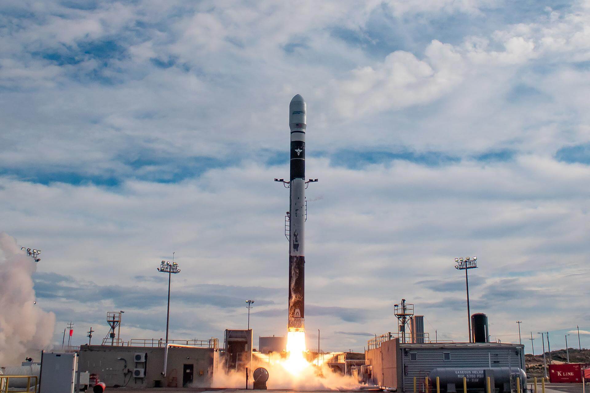
Electron | 6x HawkEye 360
Rocket Lab | United States of AmericaWallops Flight Facility, Virginia, USA
TBD December, 2026
Status: To Be Determined
Mission:
HawkEye 360 is a a space-based civil global intelligence satellite network using radio frequency (RF) technology to help monitor transportation across air, land and sea and assist with emergencies, and to provide civil SIGINT (Signal Intelligence) mission. The constellation of small satellites (named Hawk ) will collect information on specific radio signals worldwide to provide high-precision radio frequency mapping and analytics from Low Earth orbit (LEO).
Low Earth Orbit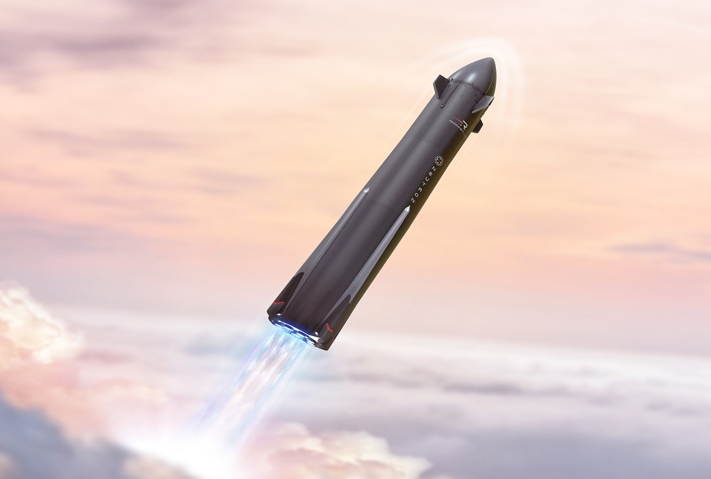
Neutron | Maiden Flight
Rocket Lab | United States of AmericaWallops Flight Facility, Virginia, USA
TBD December, 2026
Firefly Alpha Block 2 | INCUS
Firefly Aerospace | United States of AmericaWallops Flight Facility, Virginia, USA
TBD December, 2027
Status: To Be Determined
Mission:
The Investigation of Convective Updrafts (INCUS) is a NASA Earth science mission led by Colorado State University that will investigate the behavior of tropical storms in order to better represent these storms in weather and climate models. It consists of 3 SmallSats flying in tight coordination to study why convective storms, heavy precipitation, and clouds occur exactly when and where they form. Each satellite will have a high frequency precipitation radar that observes rapid changes in convective cloud depth and intensities. 1 of the 3 satellites also will carry a microwave radiometer to provide the spatial content of the larger scale weather observed by the radars. By flying so closely together, the satellites will use the slight differences in when they make observations to apply a novel time-differencing approach to estimate the vertical transport of convective mass.
Low Earth OrbitNeutron | NZSA Venus Mission
Rocket Lab | United States of AmericaWallops Flight Facility, Virginia, USA
TBD December, 2027
Status: To Be Determined
Mission:
NZSA Venus Mission is a small direct Venus entry probe with a single 1 kg low-mass, low-cost autofluorescing nephelometer riding on a satellite bus based on the Photon Upper stage of the Electron rocket. The probe mission will spend approximately 5 minutes in the Venus cloud layers, 48-60 km above the surface, collecting in situ measurements to search for organic molecules in cloud particles and constrain particle composition.
Heliocentric N/AFalcon 9
Project Starfall Demonstration Mission
Space Launch Complex 40 - Cape Canaveral SFS, FL, USANote: Mission profile and payload details are TBD. Demonstration mission for SpaceX’s Project Starfall, which aims to mass-produce reentry capsule…
Long March 7A
TJSW-26A
201 - Wenchang Space Launch Site, People's Republic of ChinaChinese classified satellite claimed to be for communication technology test purposes. Actual mission not known.
Falcon 9
Starlink Group 17-28
Space Launch Complex 4E - Vandenberg SFB, CA, USAA batch of 24 satellites for the Starlink mega-constellation - SpaceX's project for space-based Internet communication system.
Electron
VICTUS HAZE Puma
Rocket Lab Launch Complex 1A - Rocket Lab Launch Complex 1, Mahia Peninsula, New ZealandVICTUS HAZE will see Rocket Lab design, build, launch, and operate a rendezvous proximity operation (RPO) capable spacecraft. U.S. Space Force Space …
Falcon 9
NROL-179
Space Launch Complex 4E - Vandenberg SFB, CA, USAFourteenth batch of satellites for a reconnaissance satellite constellation built by SpaceX and Northrop Grumman for the National Reconnaissance Offi…
Ariane 64
Amazon Leo (LE-03)
Ariane Launch Area 4 - Guiana Space Centre, French GuianaAmazon Leo, formerly known as Project Kuiper, is a mega constellation of satellites in Low Earth Orbit that will offer broadband internet access, thi…
Falcon 9
BlueBird Block 2 #3-5
Space Launch Complex 40 - Cape Canaveral SFS, FL, USAAST SpaceMobile’s Block 2 BlueBird satellites are designed to deliver up to 10 times the bandwidth capacity of the BlueBird Block 1 satellites, requi…
Kuaizhou 11
CentiSpace-1 Group 05
Launch Area 95A - Jiuquan Satellite Launch Center, People's Republic of ChinaNote: Unofficial reports indicate there may be 1 or more additional satellites that failed to separate from the upper stage, however this is not offi…
Long March 12
SatNet LEO Group 22
Commercial LC-2 - Wenchang Space Launch Site, People's Republic of ChinaA batch of 9 Low Earth Orbit communication satellites for the Chinese state owned SatNet constellation operated by the China Satellite Network Group.…
Long March 3B/E
Shijian 31
Launch Complex 2 (LC-2) - Xichang Satellite Launch Center, People's Republic of ChinaClassified experimental Chinese satellite of unknown purposes (officially described for "spatial environment detection" purposes).

