Upcoming Spaceflight Launches
Filter by Agency, Locations or Vehicles
Show All Launches
Falcon 9 Block 5 | Globalstar 2-R Mission 2 (x 8)
SpaceX | United States of AmericaCape Canaveral SFS, FL, USA
TBD December, 2026
Status: To Be Determined
Mission:
The Globalstar global mobile communications network offers global, digital real time voice, data and fax services via its Low Earth Orbit satellite constellation. The constellation operates in a 1410 km orbit inclined at 52 degrees. In early 2022, Globalstar contracted with MDA for the construction of 17 new 2nd generation refresh satellites to replenish the existing constellation. Rocket Lab is sub-contracted to build the satellites' buses and the launch dispensers.
Low Earth Orbit Unknown F9 - Maiden Flight A Shortfall of Gravitas
LVM-3 | Gaganyaan-3
Indian Space Research Organization | IndiaSatish Dhawan Space Centre, India
TBD December, 2026
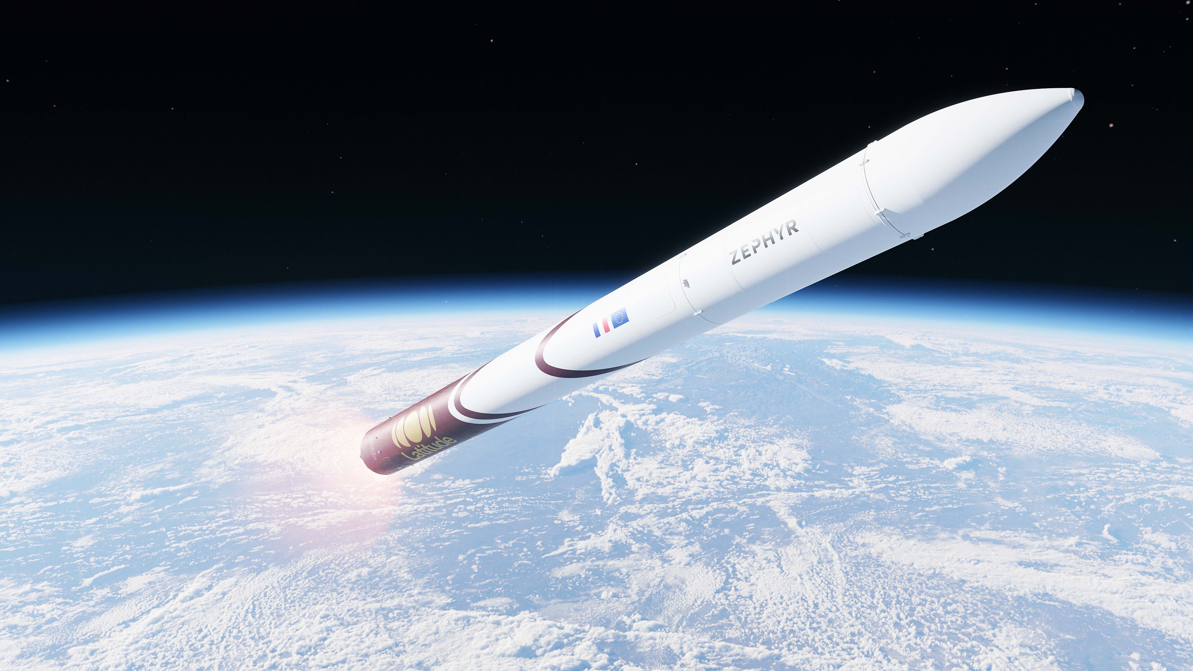
Zéphyr | Maiden Flight
Latitude | FranceGuiana Space Centre, French Guiana
TBD December, 2026
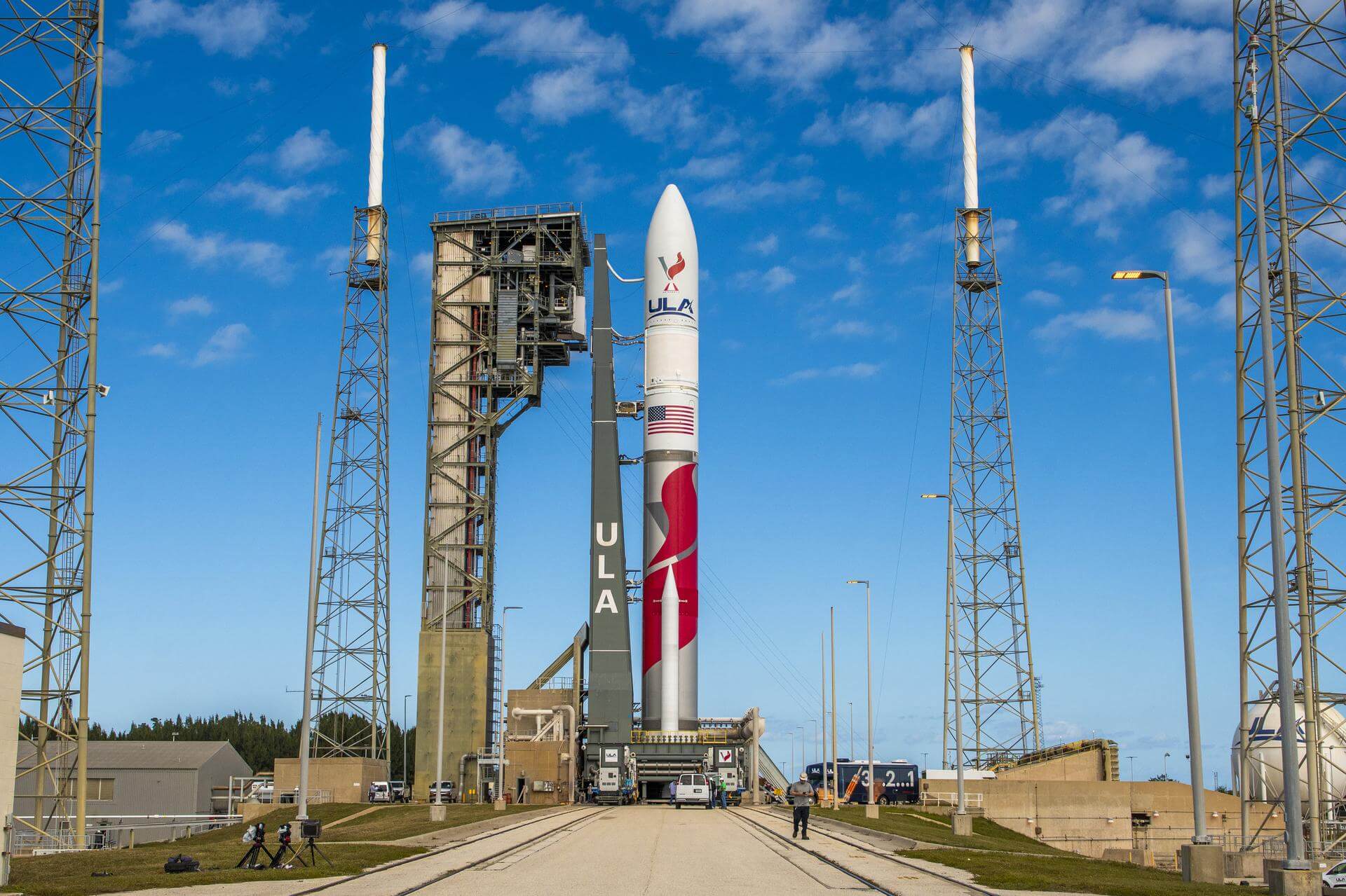
Vulcan | USSF-57
United Launch Alliance | United States of AmericaCape Canaveral SFS, FL, USA
TBD December, 2026
Vulcan | SILENTBARKER 2/NROL-118
United Launch Alliance | United States of AmericaCape Canaveral SFS, FL, USA
TBD December, 2026
Vulcan | NROL-83
United Launch Alliance | United States of AmericaVandenberg SFB, CA, USA
TBD December, 2026

Electron | BlackSky Gen-3 6
Rocket Lab | United States of AmericaRocket Lab Launch Complex 1, Mahia Peninsula, New Zealand
TBD December, 2026
Falcon 9 Block 5 | VICTUS SURGO
SpaceX | United States of AmericaCape Canaveral SFS, FL, USA
TBD December, 2026
Status: To Be Determined
Mission:
A new Tactically Responsive Space (TacRS) mission by the United States Space Force Space Systems Command to deliver responsive space delivery. The mission consists of an Impulse Space Mira orbital transfer vehicle that will operate in Geosynchronous Transfer Orbit (GTO), which would be transferred from Low Earth Orbit (LEO) on an Impulse Space Helios kick stage. A Helios rideshare payload will also be delivered to GEO.
Low Earth OrbitElectron | BlackSky Gen-3 5
Rocket Lab | United States of AmericaRocket Lab Launch Complex 1, Mahia Peninsula, New Zealand
TBD December, 2026
Electron | iQPS Launch 8
Rocket Lab | United States of AmericaRocket Lab Launch Complex 1, Mahia Peninsula, New Zealand
TBD December, 2026
Falcon 9
Project Starfall Demonstration Mission
Space Launch Complex 40 - Cape Canaveral SFS, FL, USANote: Mission profile and payload details are TBD. Demonstration mission for SpaceX’s Project Starfall, which aims to mass-produce reentry capsule…
Long March 7A
TJSW-26A
201 - Wenchang Space Launch Site, People's Republic of ChinaChinese classified satellite claimed to be for communication technology test purposes. Actual mission not known.
Falcon 9
Starlink Group 17-28
Space Launch Complex 4E - Vandenberg SFB, CA, USAA batch of 24 satellites for the Starlink mega-constellation - SpaceX's project for space-based Internet communication system.
Electron
VICTUS HAZE Puma
Rocket Lab Launch Complex 1A - Rocket Lab Launch Complex 1, Mahia Peninsula, New ZealandVICTUS HAZE will see Rocket Lab design, build, launch, and operate a rendezvous proximity operation (RPO) capable spacecraft. U.S. Space Force Space …
Falcon 9
NROL-179
Space Launch Complex 4E - Vandenberg SFB, CA, USAFourteenth batch of satellites for a reconnaissance satellite constellation built by SpaceX and Northrop Grumman for the National Reconnaissance Offi…
Ariane 64
Amazon Leo (LE-03)
Ariane Launch Area 4 - Guiana Space Centre, French GuianaAmazon Leo, formerly known as Project Kuiper, is a mega constellation of satellites in Low Earth Orbit that will offer broadband internet access, thi…
Falcon 9
BlueBird Block 2 #3-5
Space Launch Complex 40 - Cape Canaveral SFS, FL, USAAST SpaceMobile’s Block 2 BlueBird satellites are designed to deliver up to 10 times the bandwidth capacity of the BlueBird Block 1 satellites, requi…
Kuaizhou 11
CentiSpace-1 Group 05
Launch Area 95A - Jiuquan Satellite Launch Center, People's Republic of ChinaNote: Unofficial reports indicate there may be 1 or more additional satellites that failed to separate from the upper stage, however this is not offi…
Long March 12
SatNet LEO Group 22
Commercial LC-2 - Wenchang Space Launch Site, People's Republic of ChinaA batch of 9 Low Earth Orbit communication satellites for the Chinese state owned SatNet constellation operated by the China Satellite Network Group.…
Long March 3B/E
Shijian 31
Launch Complex 2 (LC-2) - Xichang Satellite Launch Center, People's Republic of ChinaClassified experimental Chinese satellite of unknown purposes (officially described for "spatial environment detection" purposes).

