Upcoming Spaceflight Launches
Filter by Agency, Locations or Vehicles
Show All Launches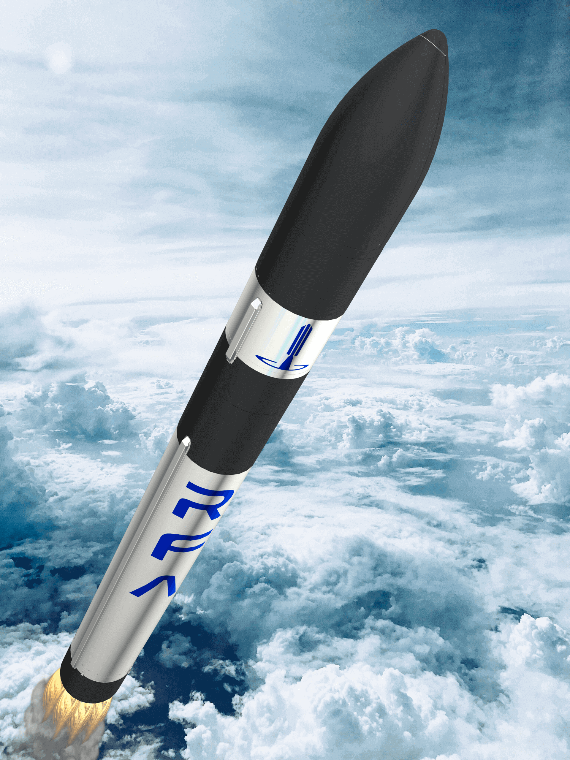
RFA One | Maiden Flight
Rocket Factory Augsburg | GermanySaxaVord Spaceport
TBD September, 2026
Status: To Be Determined
Mission:
First flight of the RFA One launch vehicle. Will carry 7 satellites for various companies and organizations coordinated by the German Aerospace Center (DLR). * AllBertEinStein * ARTICA * Curium Two * ERMINAZ * PCIOD * Separation Ring Mission * SpaceDREAM
Sun-Synchronous Orbit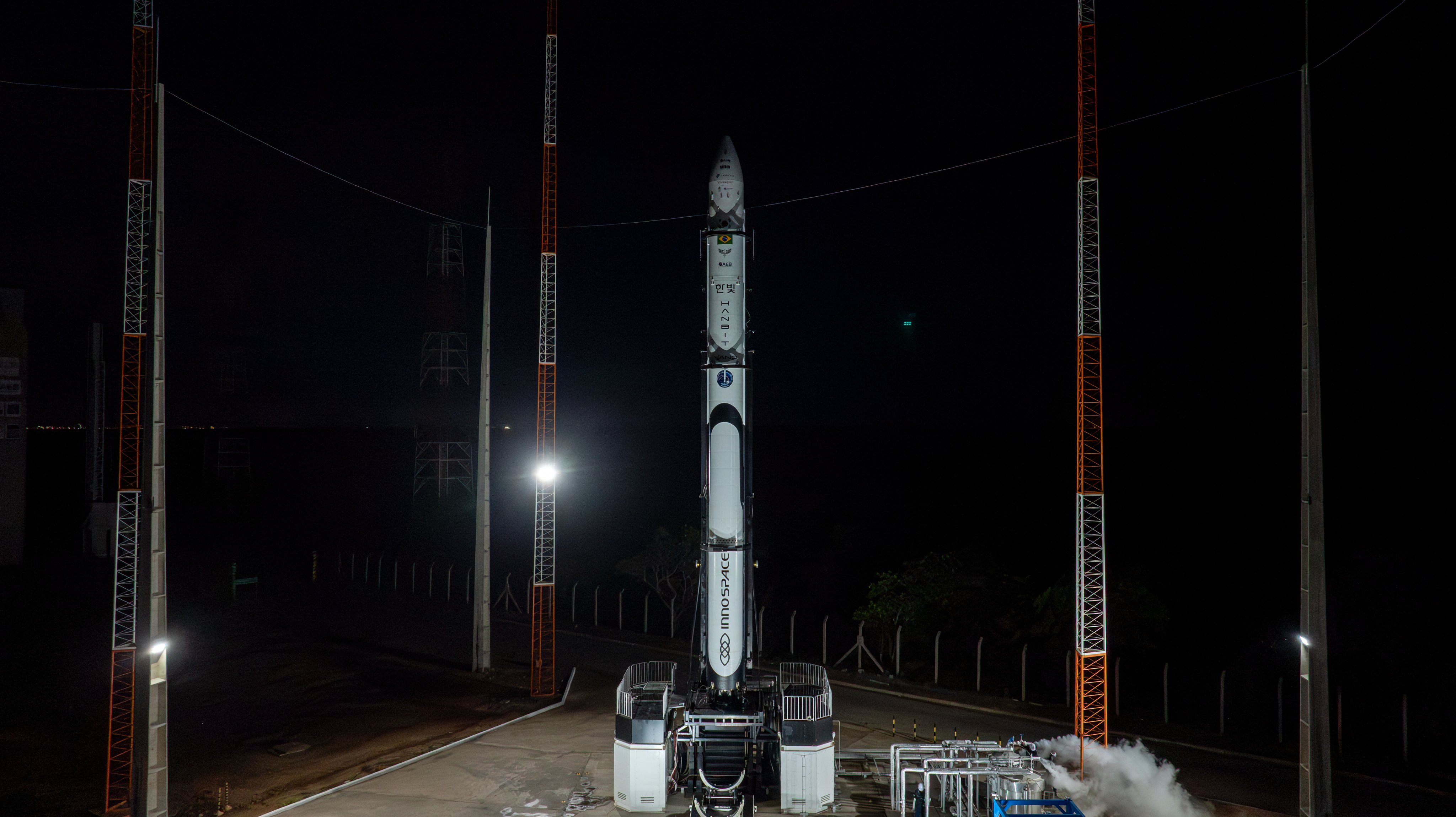
HANBIT-Nano | InnoSat-0
Innospace | South KoreaAlcântara Space Center, Federative Republic of Brazil
TBD September, 2026

Falcon 9 Block 5 | SDA Tranche 1 Transport Layer D
SpaceX | United States of AmericaVandenberg SFB, CA, USA
TBD September, 2026
Status: To Be Determined
Mission:
Tranche 1 Transport Layer D is one of six missions by the United States Space Force Space Development Agency (SDA) for the Proliferated Warfighter Space Architecture (PWSA) Tranche 1 Transport Layer constellation, which will provide assured, resilient, low-latency military data and connectivity worldwide to the full range of warfighter platforms from Low Earth Orbit satellites. The constellation will be interconnected with Optical Inter-Satellite Links (OISLs) which have significantly increased performance over existing radio frequency crosslinks. It is expected to operate over Ka band, have stereo coverage and be dynamically networked for simpler hand-offs, greater bandwidth and fault tolerance.
Polar OrbitFalcon 9 Block 5 | MRV-1
SpaceX | United States of AmericaCape Canaveral SFS, FL, USA
TBD September, 2026
Falcon 9 Block 5 | SDA Tranche 2 Tracking Layer A
SpaceX | United States of AmericaCape Canaveral SFS, FL, USA
TBD September, 2026
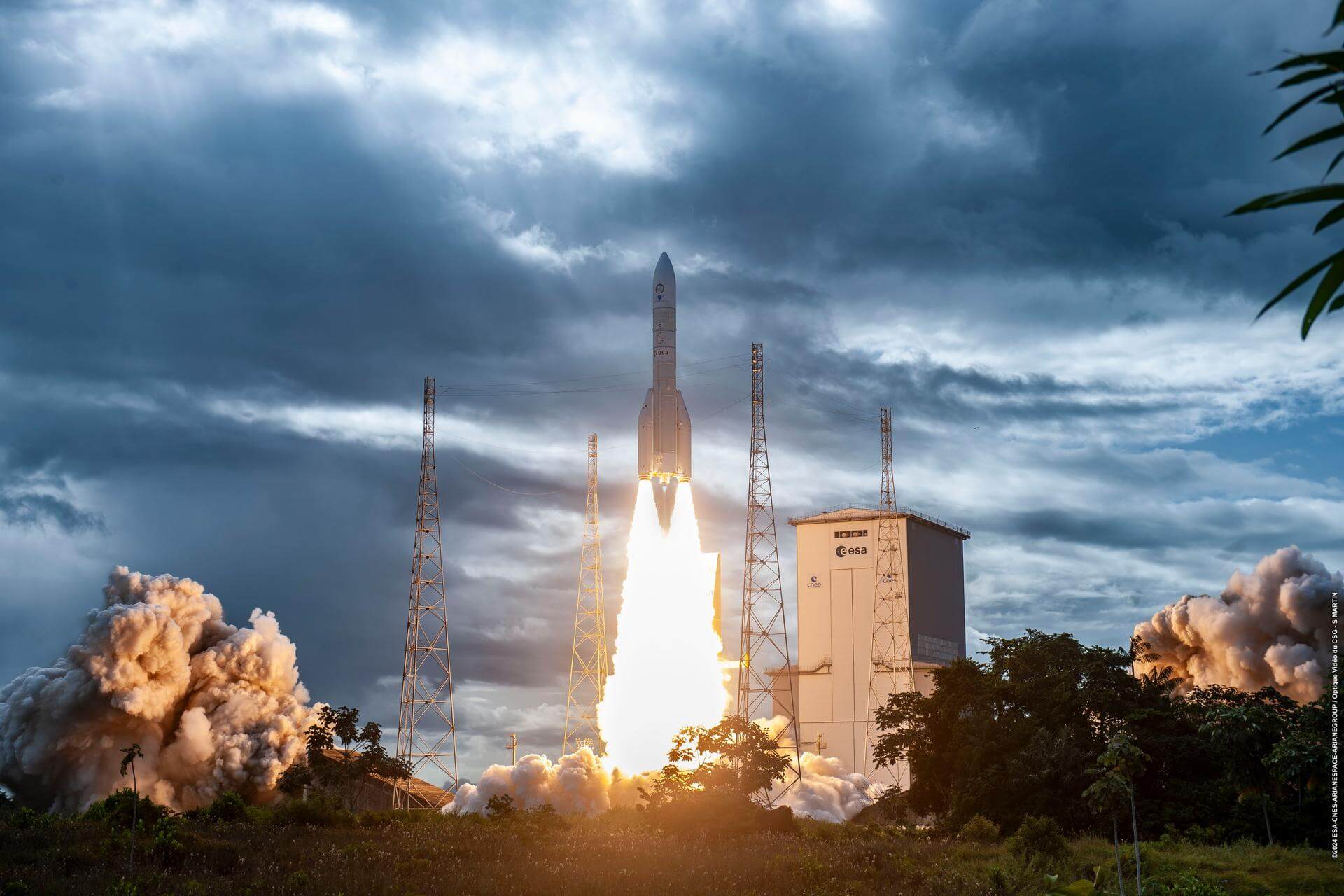
Ariane 62 | Metop-SG B1
ArianeGroup | FranceGuiana Space Centre, French Guiana
TBD October, 2026

Electron | StriX Launch 12
Rocket Lab | United States of AmericaRocket Lab Launch Complex 1, Mahia Peninsula, New Zealand
TBD October, 2026
Falcon 9 Block 5 | Transporter 18 (Dedicated SSO Rideshare)
SpaceX | United States of AmericaVandenberg SFB, CA, USA
TBD October, 2026
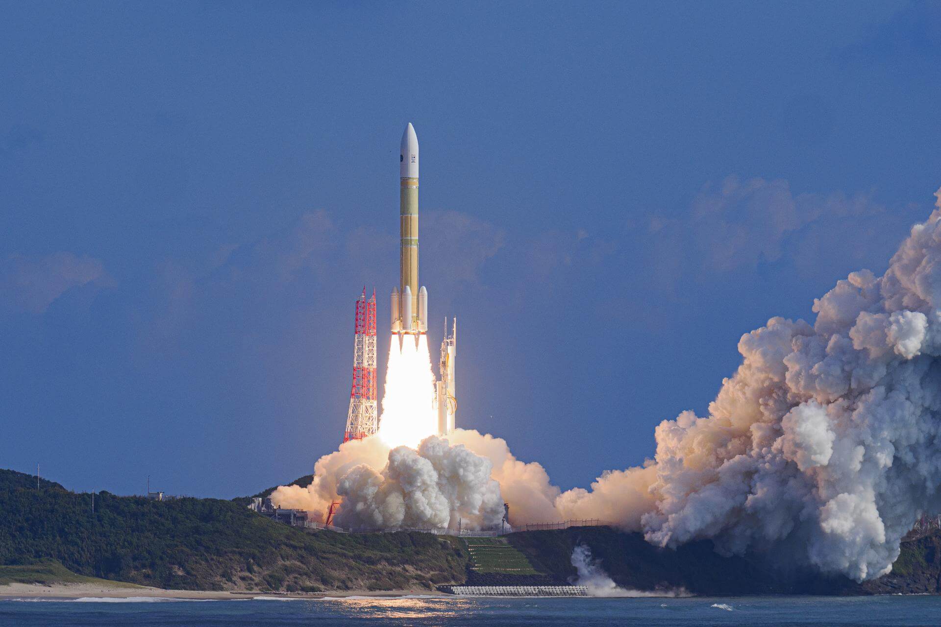
H3-24 | Martian Moon eXplorer (MMX)
Mitsubishi Heavy Industries | JapanTanegashima Space Center, Japan
TBD October, 2026
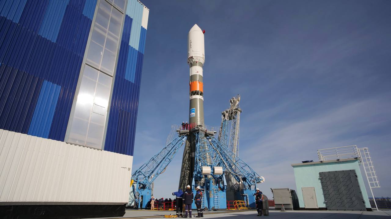
Soyuz 2.1b | Progress MS-36 (97P)
Progress Rocket Space Center | RussiaBaikonur Cosmodrome, Republic of Kazakhstan
November 24, 2026
Electron
Ten Owl Of Ten (StriX Launch 10)
Rocket Lab Launch Complex 1B - Rocket Lab Launch Complex 1, Mahia Peninsula, New ZealandSynthetic aperture radar satellite for Japanese Earth imaging company Synspective.
Falcon 9
Starlink Group 17-45
Space Launch Complex 4E - Vandenberg SFB, CA, USAA batch of 24 satellites for the Starlink mega-constellation - SpaceX's project for space-based Internet communication system.
Falcon 9
Project Starfall Demonstration Mission
Space Launch Complex 40 - Cape Canaveral SFS, FL, USANote: Mission profile and payload details are TBD. Demonstration mission for SpaceX’s Project Starfall, which aims to mass-produce reentry capsule…
Long March 7A
TJSW-26A
201 - Wenchang Space Launch Site, People's Republic of ChinaChinese classified satellite claimed to be for communication technology test purposes. Actual mission not known.
Falcon 9
Starlink Group 17-28
Space Launch Complex 4E - Vandenberg SFB, CA, USAA batch of 24 satellites for the Starlink mega-constellation - SpaceX's project for space-based Internet communication system.
Electron
VICTUS HAZE Puma
Rocket Lab Launch Complex 1A - Rocket Lab Launch Complex 1, Mahia Peninsula, New ZealandVICTUS HAZE will see Rocket Lab design, build, launch, and operate a rendezvous proximity operation (RPO) capable spacecraft. U.S. Space Force Space …
Falcon 9
NROL-179
Space Launch Complex 4E - Vandenberg SFB, CA, USAFourteenth batch of satellites for a reconnaissance satellite constellation built by SpaceX and Northrop Grumman for the National Reconnaissance Offi…
Ariane 64
Amazon Leo (LE-03)
Ariane Launch Area 4 - Guiana Space Centre, French GuianaAmazon Leo, formerly known as Project Kuiper, is a mega constellation of satellites in Low Earth Orbit that will offer broadband internet access, thi…
Falcon 9
BlueBird Block 2 #3-5
Space Launch Complex 40 - Cape Canaveral SFS, FL, USAAST SpaceMobile’s Block 2 BlueBird satellites are designed to deliver up to 10 times the bandwidth capacity of the BlueBird Block 1 satellites, requi…
Kuaizhou 11
CentiSpace-1 Group 05
Launch Area 95A - Jiuquan Satellite Launch Center, People's Republic of ChinaNote: Unofficial reports indicate there may be 1 or more additional satellites that failed to separate from the upper stage, however this is not offi…

