Upcoming Spaceflight Launches
Filter by Agency, Locations or Vehicles
Show All Launches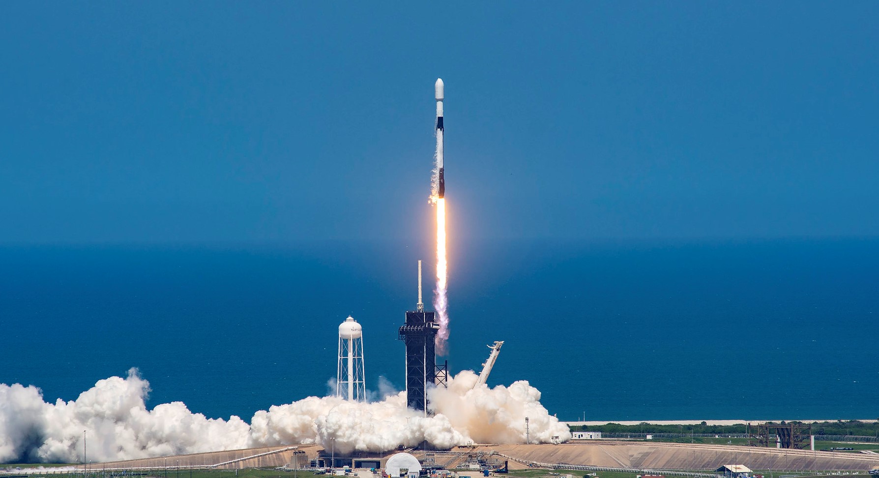
Falcon 9 Block 5 | Amazon Leo (LF-12)
SpaceX | United States of AmericaCape Canaveral SFS, FL, USA
Status: To Be Determined
Mission:
Amazon Leo, formerly known as Project Kuiper, is a mega constellation of satellites in Low Earth Orbit designed to offer broadband internet access managed by Kuiper Systems LLC, a subsidiary of Amazon. This constellation is planned to be composed of 3,276 satellites. The satellites are projected to be placed in 98 orbital planes in three orbital layers, one at 590 km, 610 km and 630 km altitude.
Low Earth OrbitFalcon 9 Block 5 | Amazon Leo (LF-13)
SpaceX | United States of AmericaCape Canaveral SFS, FL, USA
Status: To Be Determined
Mission:
Amazon Leo, formerly known as Project Kuiper, is a mega constellation of satellites in Low Earth Orbit designed to offer broadband internet access managed by Kuiper Systems LLC, a subsidiary of Amazon. This constellation is planned to be composed of 3,276 satellites. The satellites are projected to be placed in 98 orbital planes in three orbital layers, one at 590 km, 610 km and 630 km altitude.
Low Earth OrbitFalcon 9 Block 5 | Amazon Leo (LF-06)
SpaceX | United States of AmericaCape Canaveral SFS, FL, USA
Status: To Be Determined
Mission:
Amazon Leo, formerly known as Project Kuiper, is a mega constellation of satellites in Low Earth Orbit designed to offer broadband internet access managed by Kuiper Systems LLC, a subsidiary of Amazon. This constellation is planned to be composed of 3,276 satellites. The satellites are projected to be placed in 98 orbital planes in three orbital layers, one at 590 km, 610 km and 630 km altitude.
Low Earth OrbitFalcon 9 Block 5 | Amazon Leo (LF-05)
SpaceX | United States of AmericaCape Canaveral SFS, FL, USA
Status: To Be Determined
Mission:
Amazon Leo, formerly known as Project Kuiper, is a mega constellation of satellites in Low Earth Orbit designed to offer broadband internet access managed by Kuiper Systems LLC, a subsidiary of Amazon. This constellation is planned to be composed of 3,276 satellites. The satellites are projected to be placed in 98 orbital planes in three orbital layers, one at 590 km, 610 km and 630 km altitude.
Low Earth OrbitFalcon 9 Block 5 | Amazon Leo (LF-04)
SpaceX | United States of AmericaCape Canaveral SFS, FL, USA
Status: To Be Determined
Mission:
Amazon Leo, formerly known as Project Kuiper, is a mega constellation of satellites in Low Earth Orbit designed to offer broadband internet access managed by Kuiper Systems LLC, a subsidiary of Amazon. This constellation is planned to be composed of 3,276 satellites. The satellites are projected to be placed in 98 orbital planes in three orbital layers, one at 590 km, 610 km and 630 km altitude.
Low Earth OrbitFalcon 9 Block 5 | JSAT-31
SpaceX | United States of AmericaCape Canaveral SFS, FL, USA
Status: To Be Determined
Mission:
JSAT-31 is a geostationary communication satellite for SKY Perfect JSAT. Operating both in Ka and Ku frequency bands, the JSAT-31 High Throughput Satellite will offer high speed broadband services over Japan, South-East Asia, Australia, New Zealand and Pacific islands. JSAT-31 will have the largest capacity in the history of SKY Perfect JSAT satellites. It will rely on Space INSPIRE, a highly flexible and fully software-defined solution that offers instant in-orbit adjustment to broadband connectivity demand, while maximizing the effective use of the satellite resources. SKY Perfect JSAT will leverage the satellite’s extreme flexibility to offer enhanced communications services all along JSAT-31’s lifespan in orbit.
Geostationary Transfer OrbitFalcon 9 Block 5 | USSF-234
SpaceX | United States of AmericaCape Canaveral SFS, FL, USA
Falcon 9 Block 5 | NROL-157
SpaceX | United States of AmericaVandenberg SFB, CA, USA
Falcon 9 Block 5 | NROL-96
SpaceX | United States of AmericaVandenberg SFB, CA, USA
Falcon 9 Block 5 | Amazon Leo (LF-08)
SpaceX | United States of AmericaCape Canaveral SFS, FL, USA
Status: To Be Determined
Mission:
Amazon Leo, formerly known as Project Kuiper, is a mega constellation of satellites in Low Earth Orbit designed to offer broadband internet access managed by Kuiper Systems LLC, a subsidiary of Amazon. This constellation is planned to be composed of 3,276 satellites. The satellites are projected to be placed in 98 orbital planes in three orbital layers, one at 590 km, 610 km and 630 km altitude.
Low Earth OrbitFalcon 9
Starlink Group 15-18
Space Launch Complex 4E - Vandenberg SFB, CA, USAA batch of 27 satellites for the Starlink mega-constellation - SpaceX's project for space-based Internet communication system.
GSLV Mk II
IRNSS-1L (NVS-03)
Satish Dhawan Space Centre Second Launch Pad - Satish Dhawan Space Centre, IndiaThis is a replacement satellite for the Indian Regional Navigation Satellite System. The constellation will provide India with an alternative to GPS …
Falcon 9
Starlink Group 15-16
Space Launch Complex 4E - Vandenberg SFB, CA, USAA batch of 27 satellites for the Starlink mega-constellation - SpaceX's project for space-based Internet communication system.
Long March 8A
SatNet LEO Group 28
Commercial LC-1 - Wenchang Space Launch Site, People's Republic of ChinaA batch of 9 Low Earth Orbit communication satellites for the Chinese state owned SatNet constellation operated by the China Satellite Network Group.…
Falcon 9
Starlink Group 15-15
Space Launch Complex 4E - Vandenberg SFB, CA, USAA batch of 27 satellites for the Starlink mega-constellation - SpaceX's project for space-based Internet communication system.
Long March 4B
Yaogan 53-07 to 09/56-19 to 21
Launch Area 94 (SLS-2 / 603) - Jiuquan Satellite Launch Center, People's Republic of China6 Chinese military “remote sensing” satellite of unknown purposes.
Long March 6A
Yaogan 50-03
Launch Complex 9A - Taiyuan Satellite Launch Center, People's Republic of ChinaThe Yaogan 50-03 is a Chinese military “remote sensing” satellite of unknown purposes.
Electron
We're Not Hawking Around (3x HawkEye 360)
Rocket Lab Launch Complex 1A - Rocket Lab Launch Complex 1, Mahia Peninsula, New ZealandHawkEye 360 is a a space-based civil global intelligence satellite network using radio frequency (RF) technology to help monitor transportation acros…
Ceres-1S
Xiguang-4 01
Rizhao offshore launch location - Haiyang Oriental Spaceport0.5 meter resolution Earth observation satellite for the city of Guangzhou government and Guangzhou University with multi-spectral imaging capability…
Falcon 9
Bandwagon 5 (Dedicated Mid-Inclination Rideshare)
Space Launch Complex 40 - Cape Canaveral SFS, FL, USADedicated rideshare flight to a mid-inclination orbit with dozens of small microsatellites and nanosatellites for commercial and government customers…