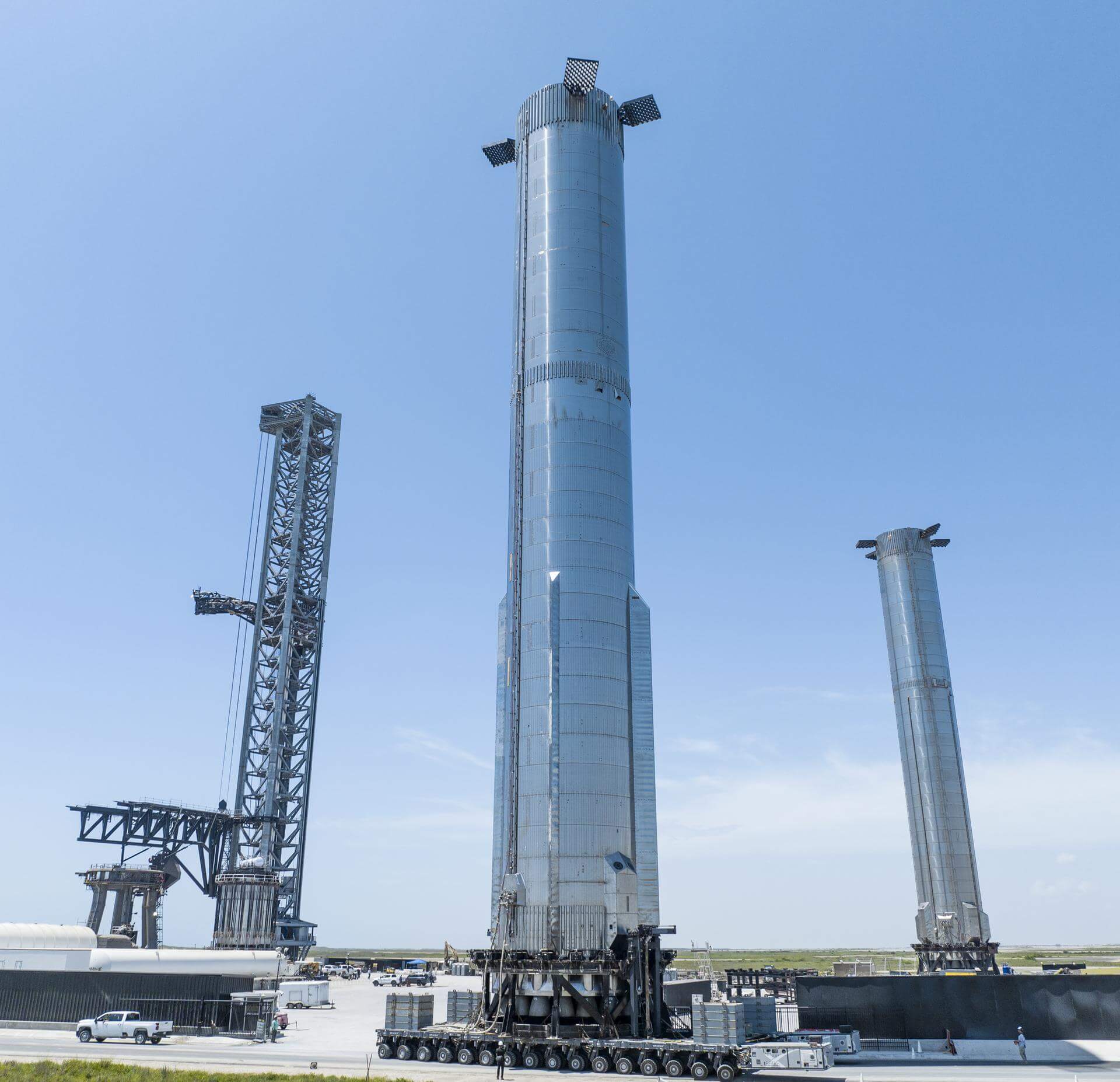
Starship - Booster 7
Details
Status - Destroyed
Booster 7 is the first Super Heavy booster with 33 Raptor 2 engines and was used for the first Starship integrated flight test with Ship 24. Lost in a launch failure.
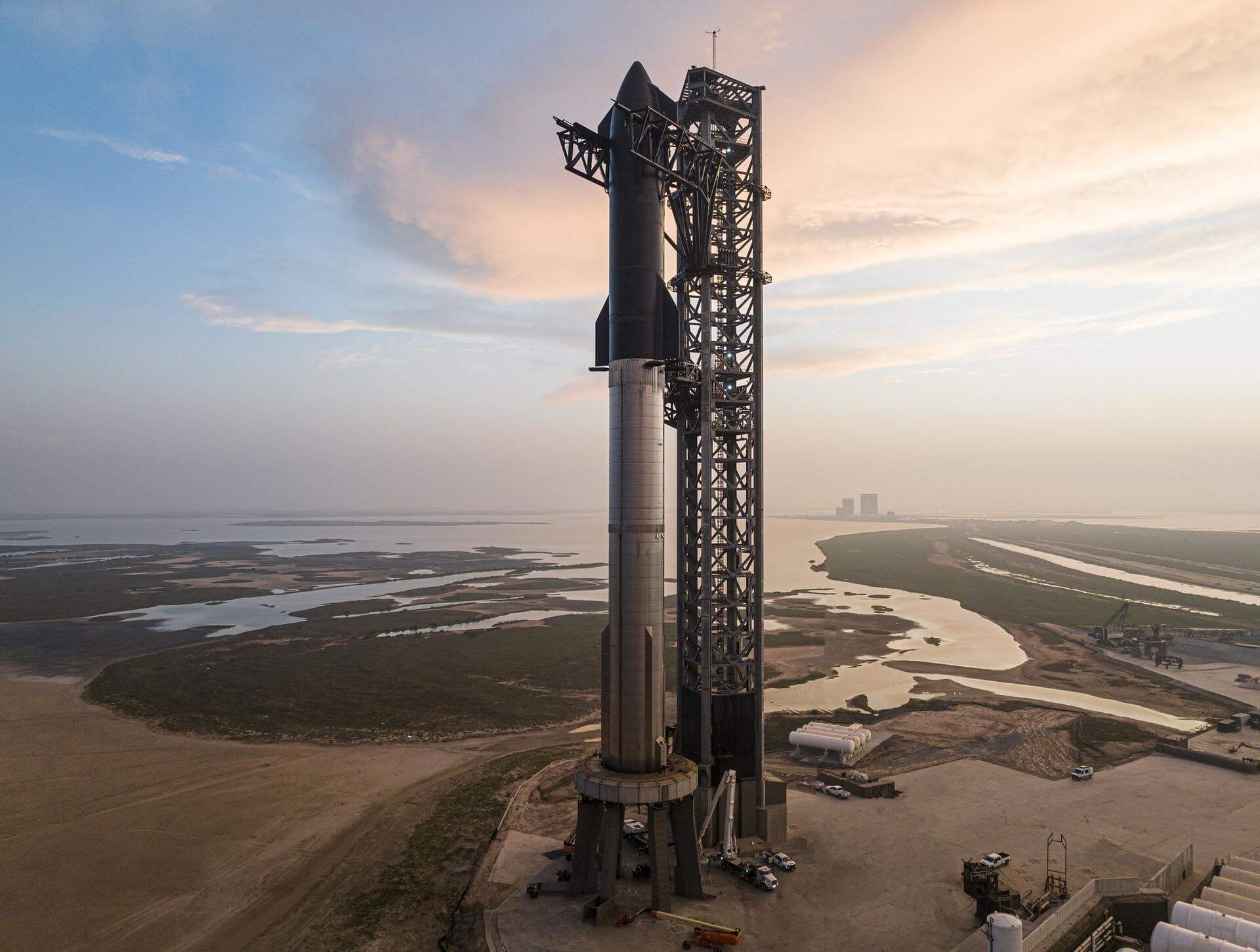
Starship | Integrated Flight Test
SpaceX | United States of AmericaSpaceX Starbase, TX, USA
April 20, 2023, 1:33 p.m.
Status: Launch Failure
Mission:
Maiden flight of the two-stage Starship launch vehicle. The booster was supposed to separate 170 seconds into flight and return to land approximately 32 km off the shore in the Gulf of Mexico. The second stage would have followed a suborbital trajectory and performed an unpowered splashdown approximately 100 km off the northwest coast of Kauai (Hawaii). A launch failure was experienced before stage separation.
Suborbital Booster 7 - Maiden Flight Gulf of MexicoFalcon 9
NROL-179
Space Launch Complex 4E - Vandenberg SFB, CA, USAFourteenth batch of satellites for a reconnaissance satellite constellation built by SpaceX and Northrop Grumman for the National Reconnaissance Offi…
Ariane 64
Amazon Leo (LE-03)
Ariane Launch Area 4 - Guiana Space Centre, French GuianaAmazon Leo, formerly known as Project Kuiper, is a mega constellation of satellites in Low Earth Orbit that will offer broadband internet access, thi…
Falcon 9
BlueBird Block 2 #3-5
Space Launch Complex 40 - Cape Canaveral SFS, FL, USAAST SpaceMobile’s Block 2 BlueBird satellites are designed to deliver up to 10 times the bandwidth capacity of the BlueBird Block 1 satellites, requi…
Kuaizhou 11
CentiSpace-1 Group 05
Launch Area 95A - Jiuquan Satellite Launch Center, People's Republic of ChinaNote: Unofficial reports indicate there may be 1 or more additional satellites that failed to separate from the upper stage, however this is not offi…
Long March 12
SatNet LEO Group 22
Commercial LC-2 - Wenchang Space Launch Site, People's Republic of ChinaA batch of 9 Low Earth Orbit communication satellites for the Chinese state owned SatNet constellation operated by the China Satellite Network Group.…

