Atlas V 401 | Landsat 9
Launch Successful
L - -- : -- : -- : --
Launch Window
-


-
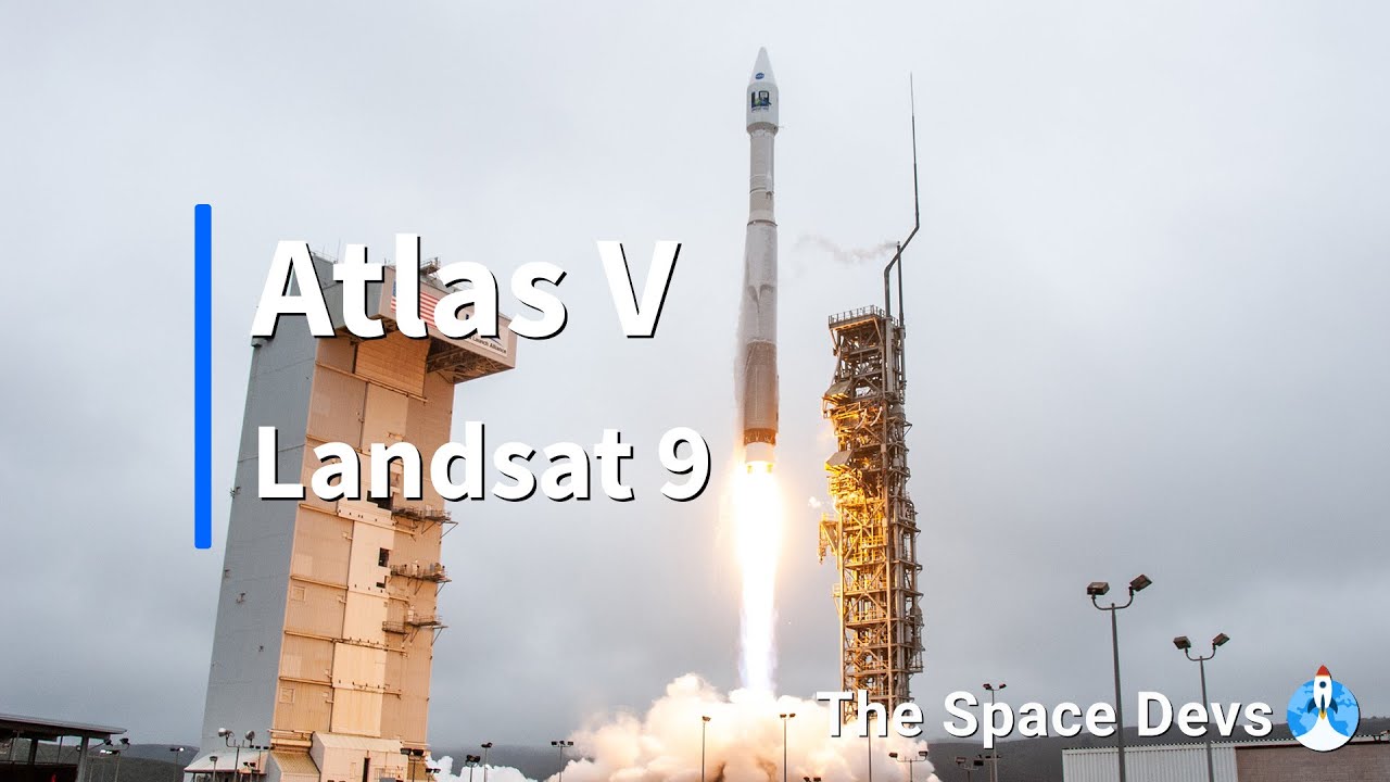
Landsat 9 is a partnership between NASA and the U.S. Geological Survey to continue the Landsat program's critical role in monitoring, understanding and managing the land resources needed to sustain human life. Landsat 9, like Landsat 8, has a higher imaging capacity than past Landsats, allowing more valuable data to be added to the Landsat global land archive. Its operational orbit is a sun-synchronous orbit at an altitude of 705 km for a mission lifetime of at least 5 years.

Successful launch of Landsat 9.

New launch time.
Launch time confirmed by ULA
New launch date.
Delayed by a week due to liquid oxygen shortage.
An Atlas V with a 4 meter diameter fairing, no boosters and a single centaur upper stage engine.
See DetailsUnited Launch Alliance (ULA) is a joint venture of Lockheed Martin Space Systems and Boeing Defense, Space & Security. ULA was formed in December 2006 by combining the teams at these companies which provide spacecraft launch services to the government of the United States. ULA launches from both coasts of the US. They launch their Atlas V vehicle from LC-41 in Cape Canaveral and LC-3E at Vandeberg. Their Delta IV launches from LC-37 at Cape Canaveral and LC-6 at Vandenberg.
INFO WIKI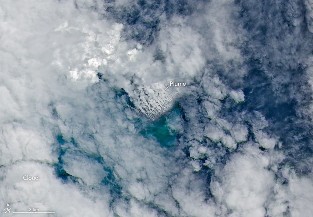
Satellite imagery shows a surge of new volcanic activity in the ocean near Papua New Guinea.
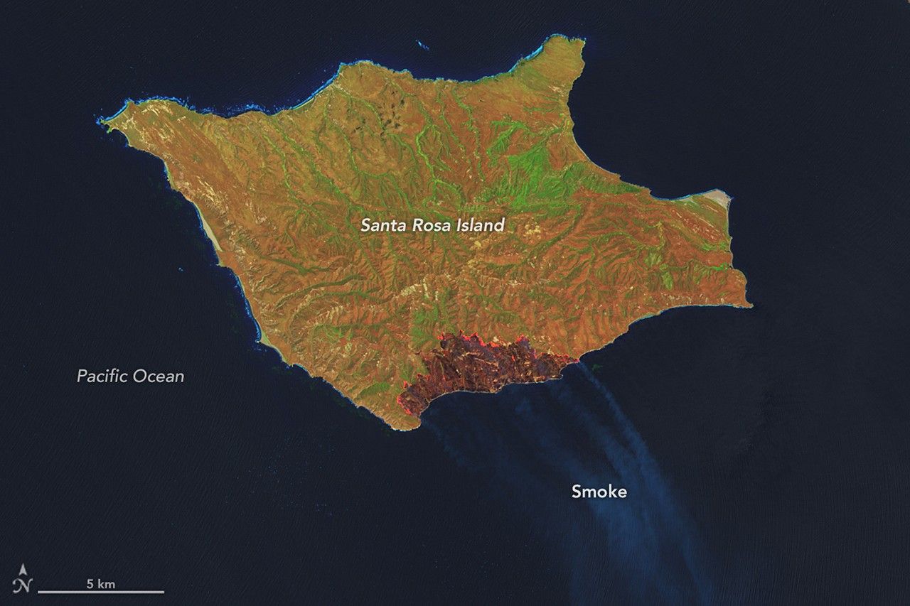
The blaze spread across the southern side of the second-largest island in California’s Channel Islands National Park.
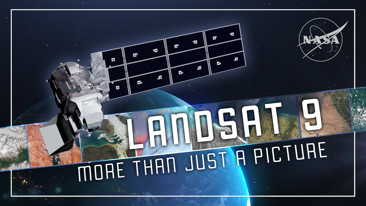
For over 50 years, the Landsat program has provided the longest continuous satellite record of Earth’s land surface from space. Landsat 9, launched in 2021, is the latest mission in this remarkable legacy.

The Operational Land Imager on Landsat 9 captured this image of Buccaneer Archipelago on June 11, 2025. The scene encapsulates the striking interactions between land and water in the area where King Sound opens to the Indian Ocean. The pow…

NASA transferred ownership and operational control on Thursday of the Landsat 9 satellite to the U.S. Geological Survey (USGS) in a ceremony in Sioux Falls, South Dakota.
3 Chinese reconnaissance satellites of unknown purposes, officially reported as for "Electromagnetic environment probing".
A batch of 9 Low Earth Orbit communication satellites for the Chinese state owned SatNet constellation operated by the China Satellite Network Group.…
Share-ride of 9 commercial Earth observation and technology demonstration satellites to SSO, details TBD.
A batch of 27 satellites for the Starlink mega-constellation - SpaceX's project for space-based Internet communication system.
4 X-band synthetic-aperture radar Earth observation satellites for the Chinese Earth observation satellite company PIESAT.
Synthetic aperture radar satellite for Japanese Earth imaging company Synspective.
Note: Satellite serial number and Cosmos designation not confirmed. Glonass-K are the third generation of satellite design for GLONASS satellite n…
2 Earth observation radar satellites built by the Chinese satellite manufacturer SpaceTY.
USSF-259 is a classified mission for the United States Space Force. It is possibly a batch of classified LEO satellites based on SpaceX’s Starshield …
A batch of 9 Low Earth Orbit communication satellites for the Chinese state owned SatNet constellation operated by the China Satellite Network Group.…

