Ariane 5 ECA | Star One D1 & JCSAT-15
Launch Successful
L - -- : -- : -- : --
Launch Window
-


-
Both are communications satellites. Equipped with C-, Ku-, and Ka-band payloads, Star One D1 will be used for telecommunications, television broadcast, broadband, Internet access, and other services in Brazil and in the Latin American region. JCSAT-15 will operate in Ku-band and is designed with the flexibility to be used for services such as video distribution in Japan, and data transfer communications, maritime and aviation applications in the Indian Ocean Region.
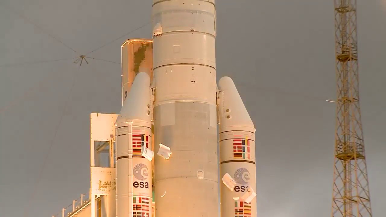
Ariane 5 is a heavy-lift launch vehicle, part of the Ariane rocket family.
ArianeGroup (formerly Airbus Safran Launchers) is an aerospace company based in France. A joint venture between Airbus and Safran, the company was founded in 2015 and is headquartered in Issy-les-Moulineaux. It consists of three core arms: aerospace, defence and security.
INFO WIKI4 X-band synthetic-aperture radar Earth observation satellites for the Chinese Earth observation satellite company PIESAT.
Synthetic aperture radar satellite for Japanese Earth imaging company Synspective.
Note: Satellite serial number and Cosmos designation not confirmed. Glonass-K are the third generation of satellite design for GLONASS satellite n…
2 Earth observation radar satellites built by the Chinese satellite manufacturer SpaceTY.
USSF-259 is a classified mission for the United States Space Force. It is possibly a batch of classified LEO satellites based on SpaceX’s Starshield …
A batch of 9 Low Earth Orbit communication satellites for the Chinese state owned SatNet constellation operated by the China Satellite Network Group.…
Progress resupply mission to the International Space Station.
9 Low Earth Orbit communication satellites with Ku, Q and V band payloads for the G60 constellation operated by Shanghai Spacesail Technologies with …
10 Low Earth Orbit communication satellites with Ku, Q and V band payloads for the G60 constellation operated by Shanghai Spacesail Technologies with…
Sentinel-3C is the third satellite in the Sentinel-3 constellation, which provides high-accuracy optical, radar and altimetry data for marine and lan…